Chester River
LOCATED IN:
Kent County
Eastern Region
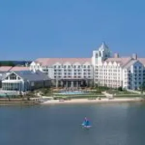
Kent County offers some of the best access to great places to fly fish along the upper Eastern Shore of the Chesapeake Bay and up into the Chester River. Fly fishers launching from Rock Hall will find themselves immediately in productive Chesapeake Bay waters with options to head up the Eastern Shore towards Tolchester Beach and fish the multitude of tidal creeks further up Bay.
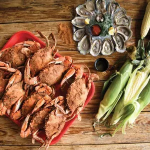
From the boat launch at Eastern Neck National Wildlife Refuge, you can access and fly fish tens of miles of shoreline, with sandy beaches on the western shore and salt marsh lined shores on the eastern side of the island. And the entire lower Chester River is also within your reach, along with the tidal rivers and creeks branching off including the Corsica River and Langford Creek. Striped bass, white perch, channel catfish, white catfish, bluefish, spot, flounder, croaker and white perch await your visit to this Kent County Trail site.
Fees
There is a fee to access the site.
Site Location
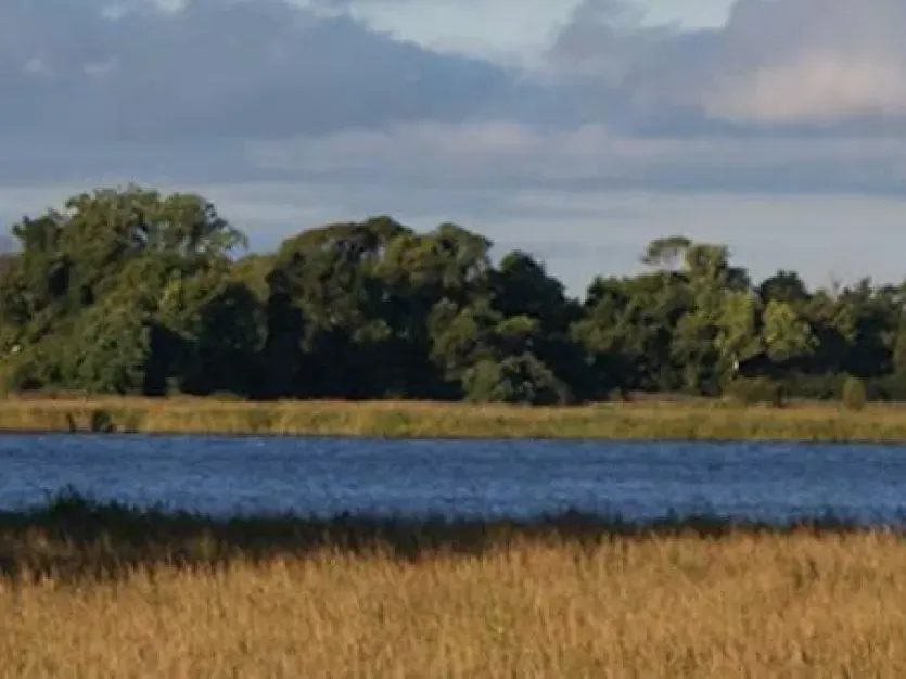
The Chester River extends down the upper Eastern Shore in Kent County, connecting many smaller tidal rivers and creeks up with Chesapeake Bay.
Address
Bayside Landing Park off of Bayside Avenue, Rock Hall, MD 21661
Eastern Neck National Wildlife Refuge Bogles Wharf Rd, Rock Hall, MD 21661
How To Get There
For access via Rock Hall, take Route 301 north on the Eastern Shore and then turn left onto MD 405/Price Station Road through Church Hill, connecting with MD 213/Church Hill Road north heading towards Chestertown. Once you cross the Chester River into Chestertown, take a left turn onto Spring Drive and then a right turn onto High Street which turns into MD 20/Chestertown Road/Rock Hall Road. Once you have entered the Town of Rock Hall, take a left onto South Hawthorne Avenue followed by a right turn onto Bayside Avenue and then turn into the parking lot for the boat ramp.
For access via Eastern Neck National Wildlife Refuge, take Route 301 north on the Eastern Shore and then turn left onto MD 405/Price Station Road through Church Hill, connecting with MD 213/Church Hill Road north heading towards Chestertown. Once you cross the Chester River into Chestertown, take a left turn onto Spring Drive and then a right turn onto High Street which turns into MD 20/Chestertown Road/Rock Hall Road. Just before you enter the Town of Rock Hall, bear left at the fork in the road onto Boundary Road which merges with MD 445/Eastern Neck Road. Once you have crossed over onto Eastern Neck National Wildlife Refuge, take a left hand turn onto Bogles Wharf Road which takes you to the parking lot for the boat ramp.
Parking & Launching
There is a gravel parking lot at Eastern Neck National Wildlife Refuge and a paved parking lot at Bayside Landing in Rock Hall. You can launch your boat using the concrete ramps at Eastern Neck National Wildlife Refuge's Bogles Wharf and Bayside Landing in Rock Hall.
Where to Fish
For the best fly fishing, you will need a boat, canoe or kayak as there is very limited shoreline fishing. Cast towards points of land, pilings, marsh banks, riprap and other places where there is nearby access to deeper water during changes in the tide. Fish sod banks close in on points on both sides of the river but particularly on and around Hail Point. Look for birds and breakers in late summer and fall.
What to Catch
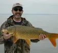
Striped bass, white perch, channel catfish, white catfish, bluefish, spot, flounder, croaker and white perch
What to Fish & How
Recommend bringing 7-9 weight fly rods with floating, intermediate and sinking fly lines. Use Clouser Deep Minnows or Deceivers sized similar to fish in bait schools or try poppers around sod points in low light situations.
Fly Fishing Organizations
Connect with local fly fishing organizations to learn about mentoring opportunities and to connect with others interested in fly fishing.

Purchase A Fishing License
Applicable Regulations
Check Tide Conditions
Fish Consumption Advisories